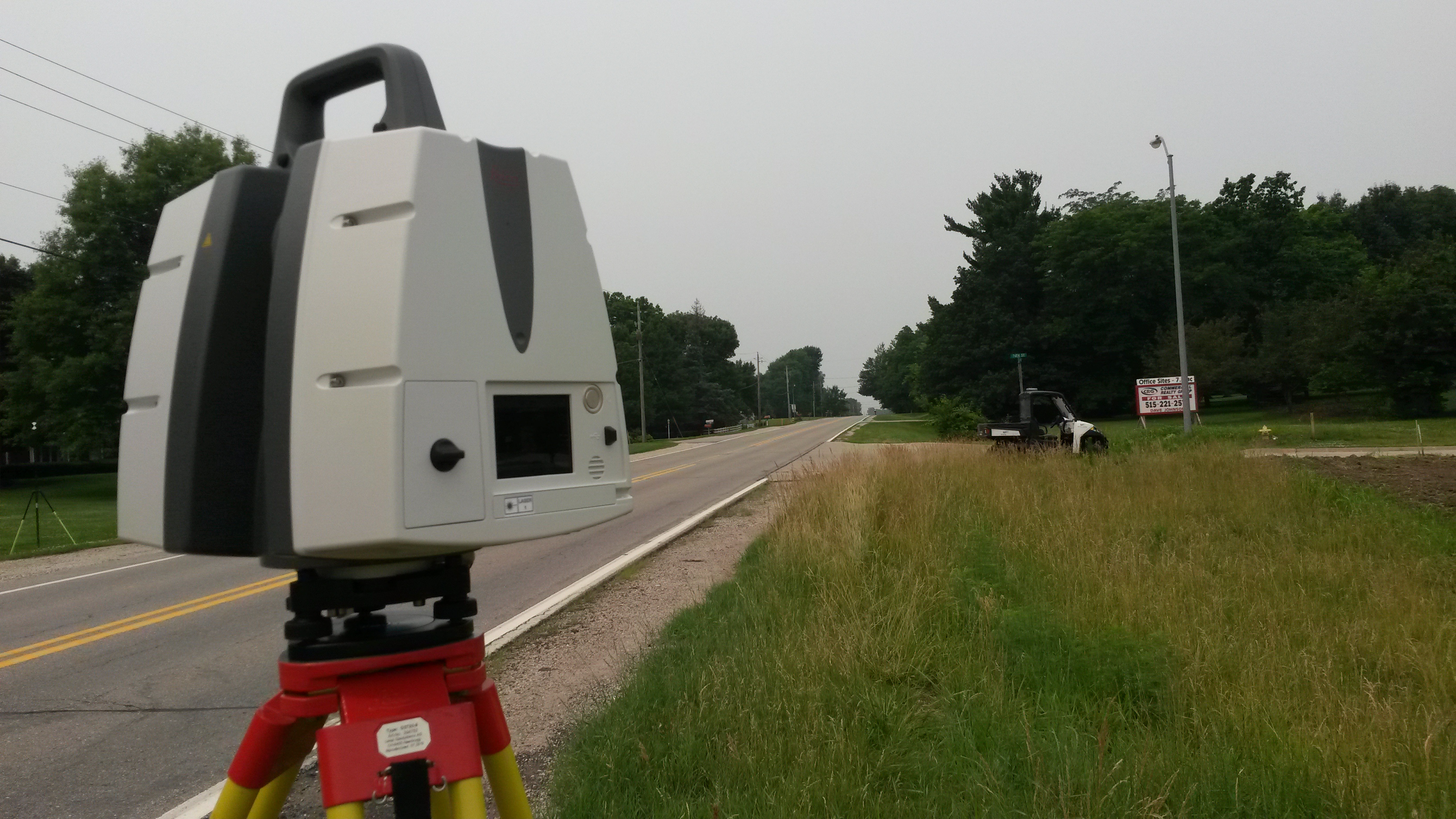
THHinc McClure Engineering invests in 3D Scanner for architectural consulting
THHinc McClure Engineering Company found a way to collect more data quicker: by getting a new high-definition, 3D scanner, which will allow the company to capture one million points per second at ranges of up to 270 meters.
In Missouri, this is the first purchase of such a scanner for engineering, architecture and surveying purposes. The Leica ScanStation P40 High Definition Scanner will “capture an immense amount of data very fast,” said Brad Geater, director of field services at THHinc McClure.
“It provides a complete solution to our clients who have assets that they want to monitor,” Geater said.
“It will provide our clients much more data about their infrastructure, and at higher accuracy so they can make quicker and better decisions,” said Terry Lutz, president of McClure Engineering Company, in a press release.
The scanner isn’t just a device that sits in an office. It’s essentially a large camera that can be taken out into the field, similar to devices used for Google Earth, Geater said. Therefore, it not only collects data, but it can also take high-resolution photos, even in rain, snow or dust.
The models that the scanner produces will be used for clients who need to maintain existing infrastructure. Local governments, schools and utilities were among the potential clientele named in the press release.
Those at THHinc McClure think that this device will help business run smoother by offering data to customers at much faster rates.
“It’s like the difference between driving a horse and buggy and a Tesla — both get you where you need to go, but I’ll take the Tesla,” Lutz said.
Photo provided by THHinc McClure Engineering.


